App: Bypass
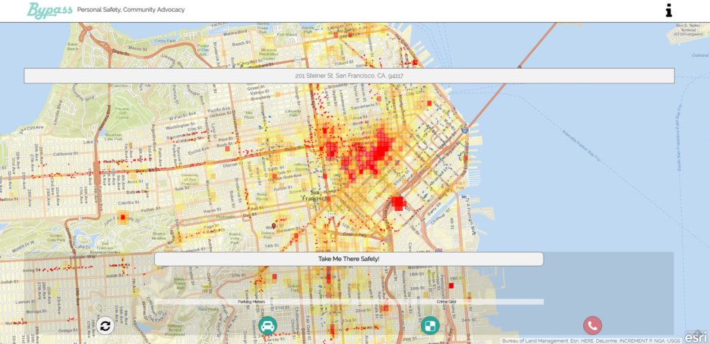
Bypass will help you get from A-B using the safest route.
The ‘Red Call’ button will call the police and send a message to your allocated emergency contact.
Enter your destination in the ‘End Location’ and ‘Start Location’ space by typing in your address, clicking on the map, or clicking on the My Location Button. Once the routes are generated, you can toggle between the Bypass and Normal route. Pushing Go allows you to choose your route.
Pressing the directions button after route chosen will give you written directions to your desired locations.
You can use the filter button to show the map layers available in your area.
Crime grid overlays the aggregated anaylsis. Raw data allows see crimes, businesses, and points of interest. Please allow for loading. Not all browsers may be supported.
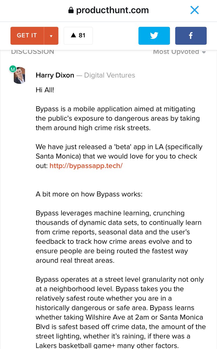
Sources: Bypass
Questions about this article
What is the Bypass app?
Bypass is a navigation app that calculates the safest route between two places, letting users compare it with the normal route and showing crime data as map layers.
What does the ‘Red Call’ button in Bypass do?
It calls the police and sends a message to the emergency contact the user has set up.
How does Bypass decide which route is safest?
According to a Product Hunt post by its makers shown in the article, Bypass uses machine learning on crime reports, seasonal data and user feedback, and considers factors such as street lighting, rain and large events.
Questions and answers added in 2026, based on the article above.